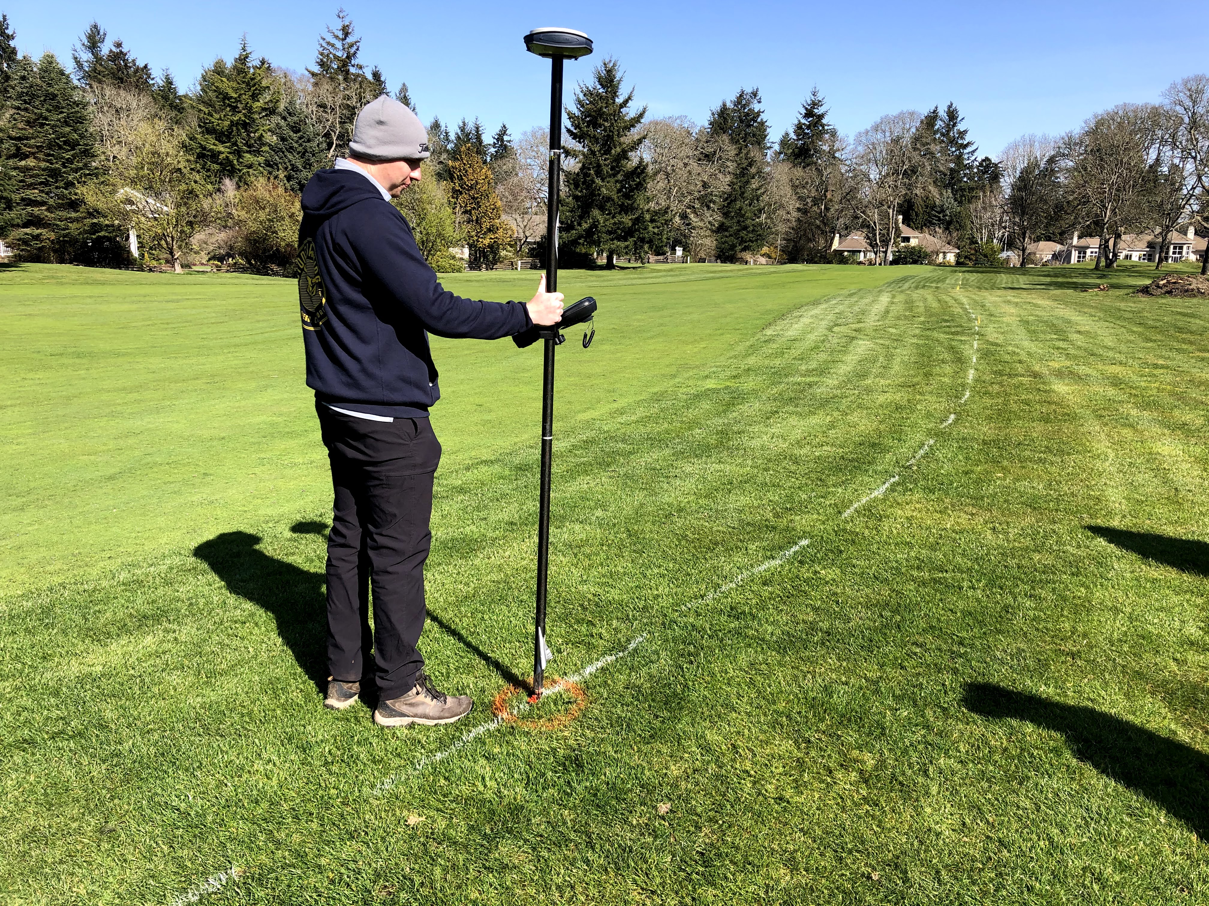
| The first thing we did was paint out the entire mainline on the ground as close as we could to what was designed on the computer. While doing this we adjusted the routing of the mainline to better fit around trees and other obstacles. These types of adjustments can only be made in the field. The computer design is really good, but it's these "in the field" decisions which will give us a mainline pipe system that works the best it possibly can, and should last 100 years. In this picture you see the use of a GPS (Global Positioning system) stick thingy which marks the exact location of things so that the information can be put on a computer. That information or location data is essential for designing anything nowadays, and it is really amazing how powerful this is when you're dealing with a design that encompases 120 acres of land. |

No comments:
Post a Comment